
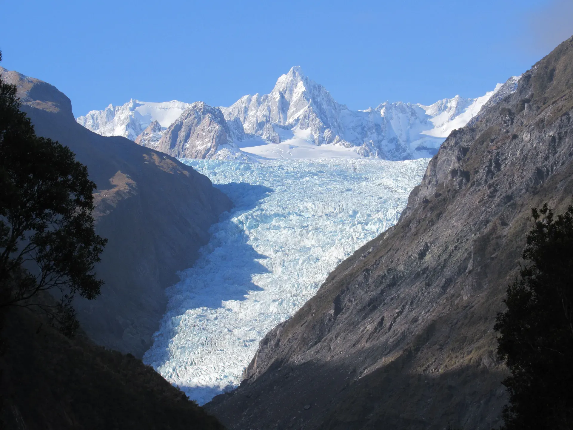
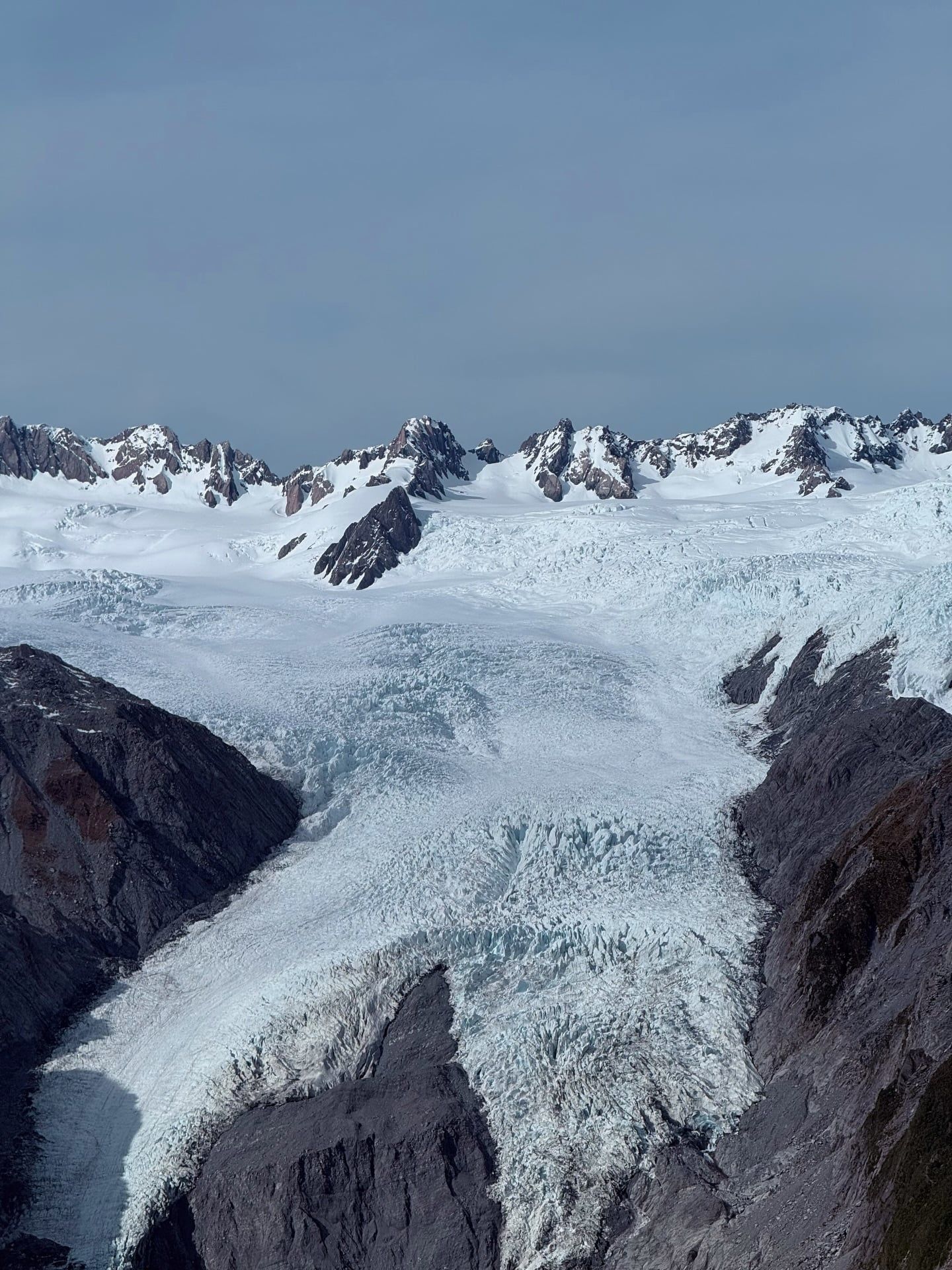
The 12-kilometre glacier drops from the Southern Alps directly into temperate rainforest just 300 metres above sea level. Walk the free valley track past waterfalls to see the retreating ice face, or book a helicopter to hike among the upper crevasses.
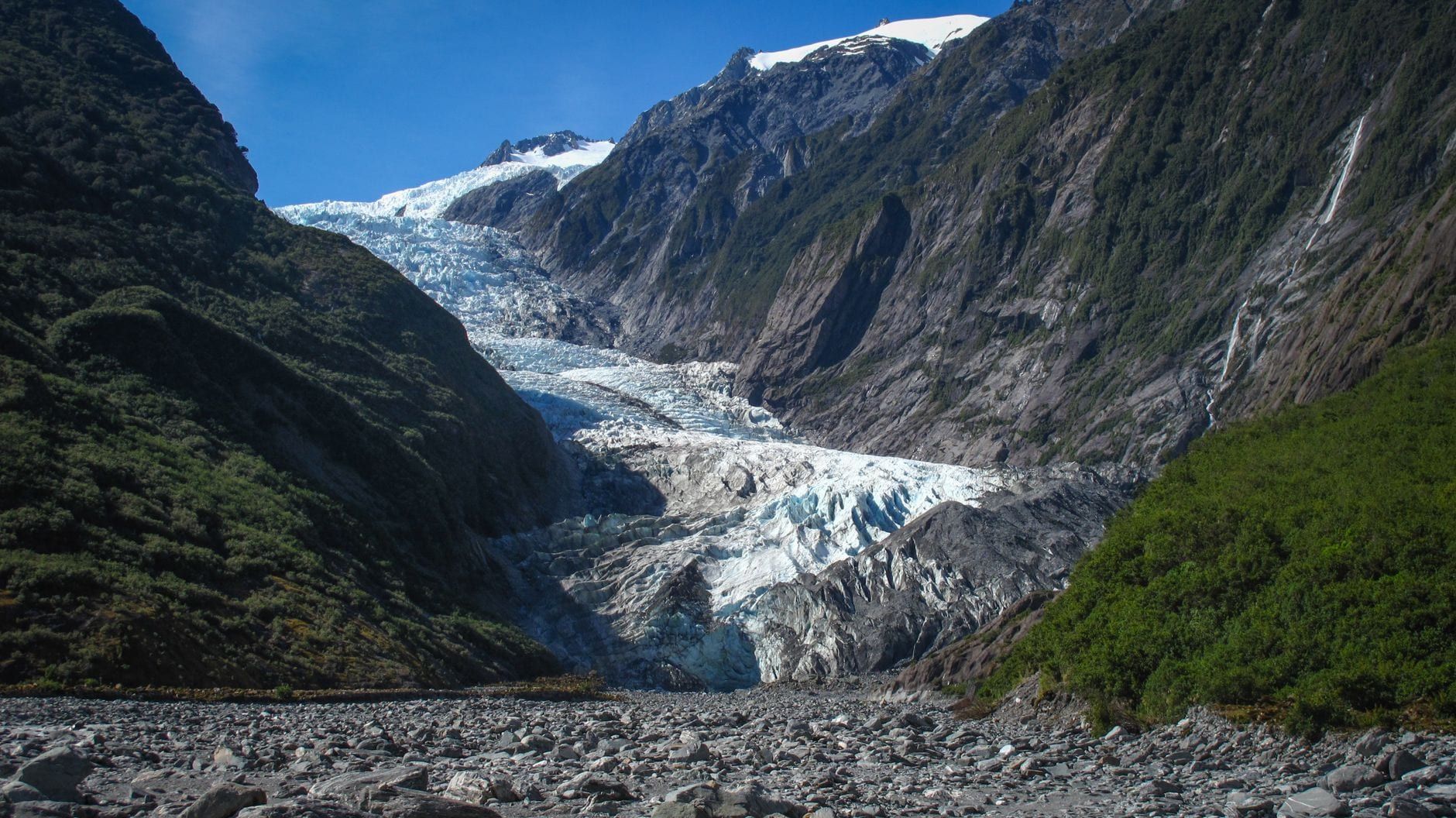
Find Guided ToursFranz Josef Glacier (officially Franz Josef Glacier / Kā Roimata o Hine Hukatere) is a 12-kilometre maritime glacier on the West Coast of New Zealand's South Island. It starts high in the Southern Alps, where a 20-square-kilometre snowfield feeds a narrow valley. Within just 11 kilometres, the ice drops from 2,500 metres down to 300 metres above sea level. It packs into a flow up to 300 metres thick.
This steep descent makes it one of the fastest-moving glaciers on Earth. It's also one of only three glaciers worldwide that descend into a temperate rainforest. The result is an unusual physical clash: thick ice surrounded by native bush, sitting just 19 kilometres from the Tasman Sea. The glacier and the wider Westland Tai Poutini National Park belong to the Te Wāhipounamu UNESCO World Heritage Site.
Māori oral tradition calls the ice Kā Roimata o Hine Hukatere, naming it for the tears of a woman whose lover died in an avalanche. Europeans first logged a sighting from the ship Mary Louisa in 1859. Six years later, German geologist Julius von Haast named it after the Austrian Emperor, Franz Joseph I. The dual name became official following a 1998 treaty settlement.
Twelve thousand years ago, the glacier pushed much further down the valley. It left behind 80-metre-high moraines like the Waiho Loop and kettle lakes formed by stranded ice blocks, including Peters Pool and Lake Wombat. Today, the ice is vanishing — climate change has driven a marked retreat since 2008, erasing roughly three kilometres of the glacier over the past century.
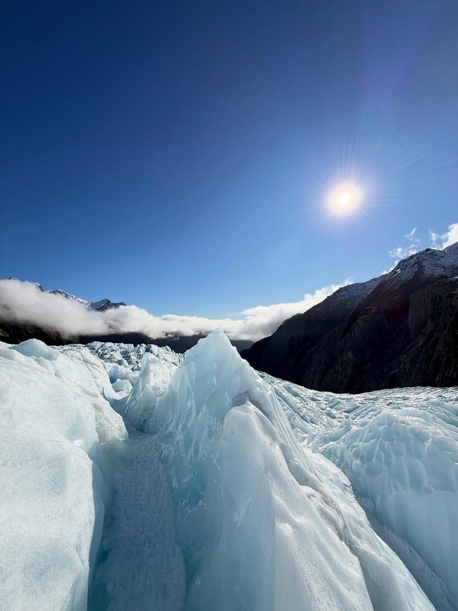
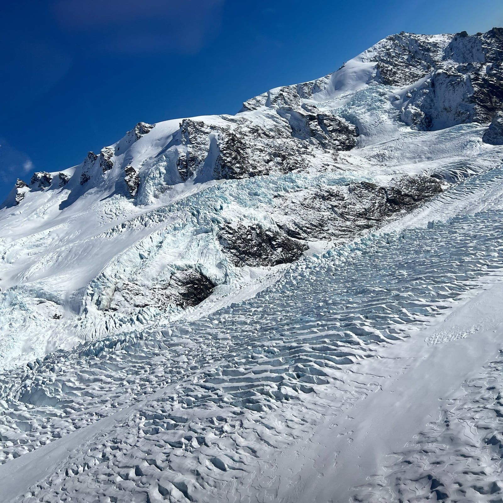
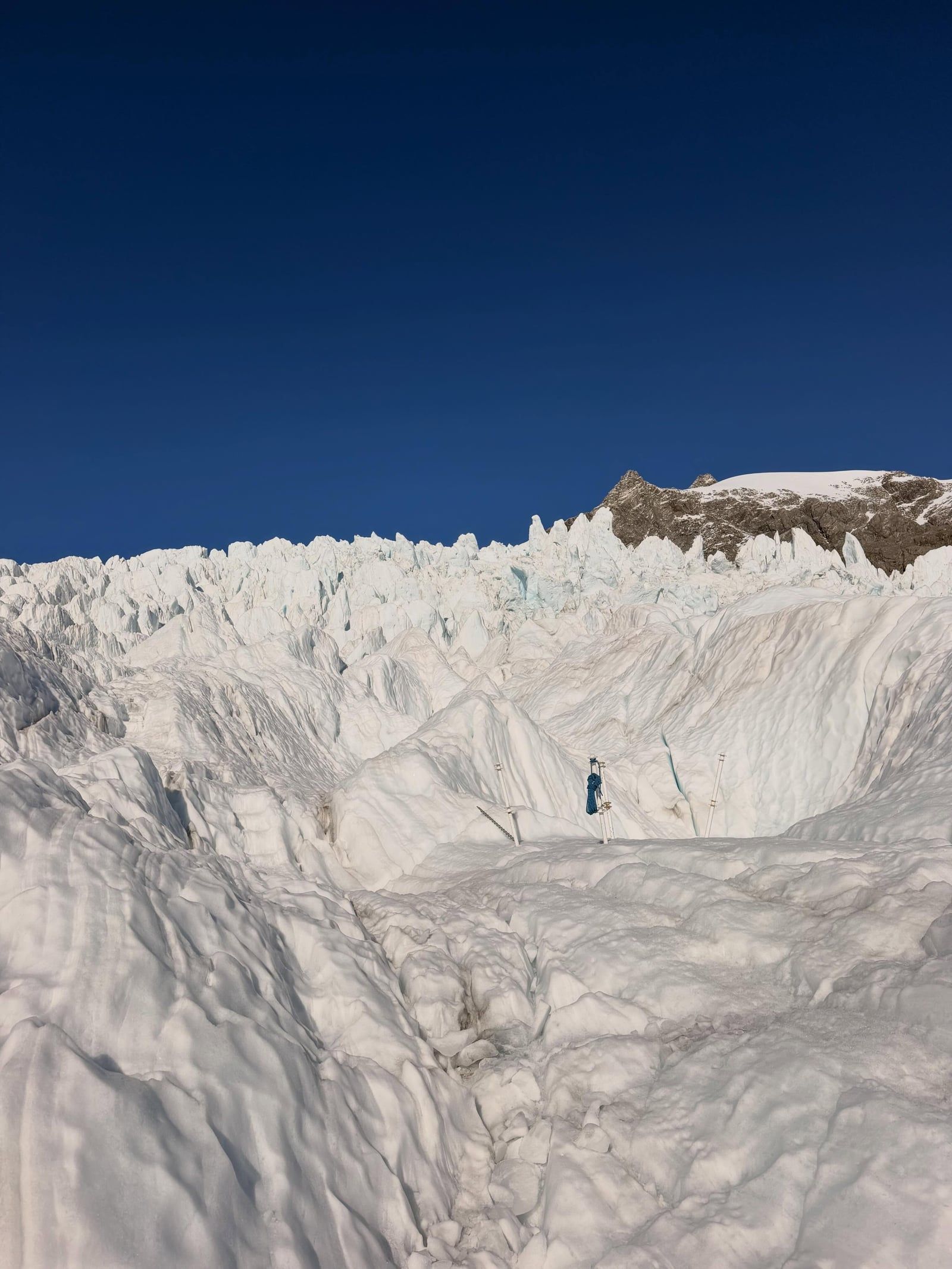
Discover the full history and cultural significance on our About page.
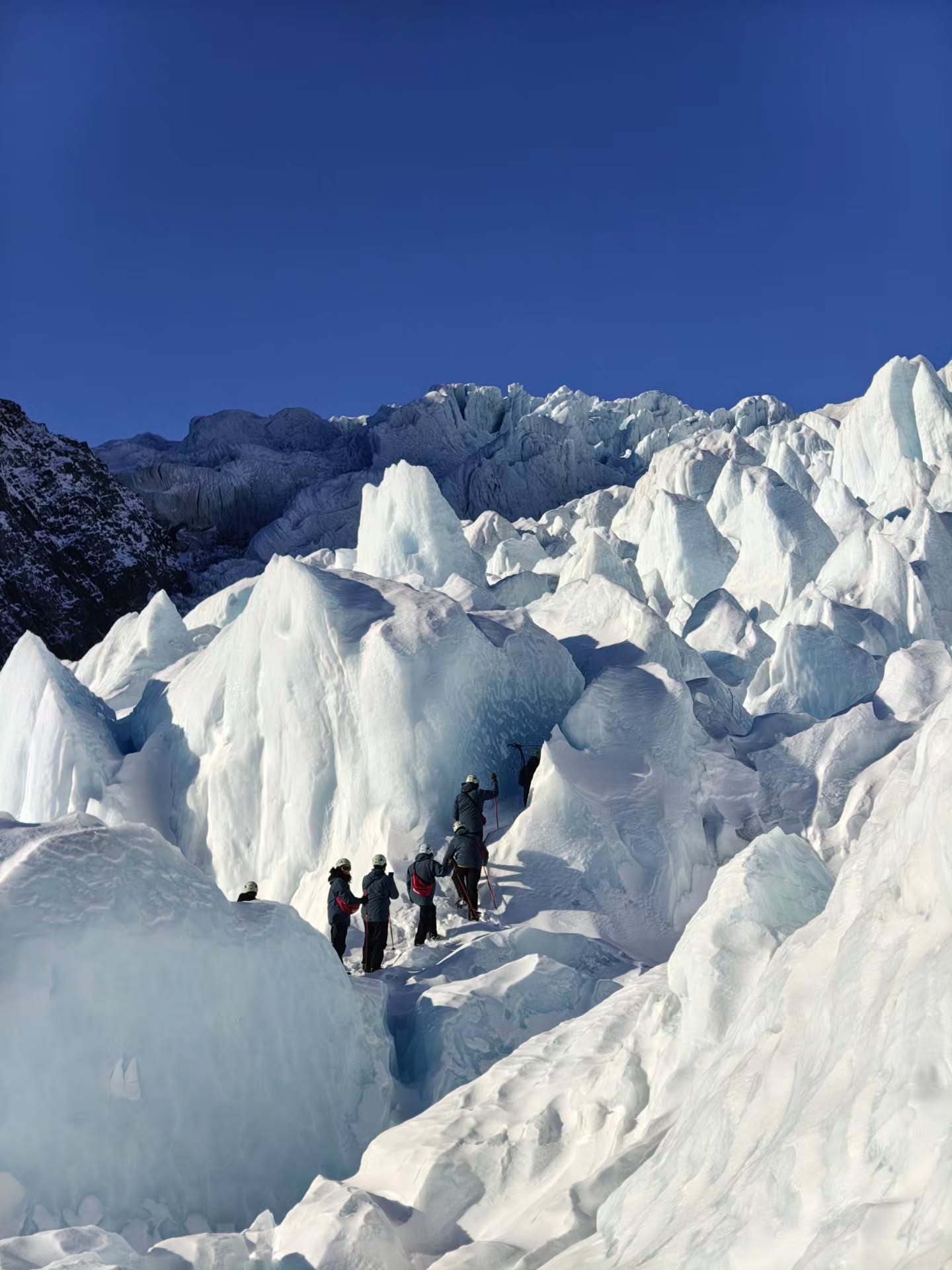
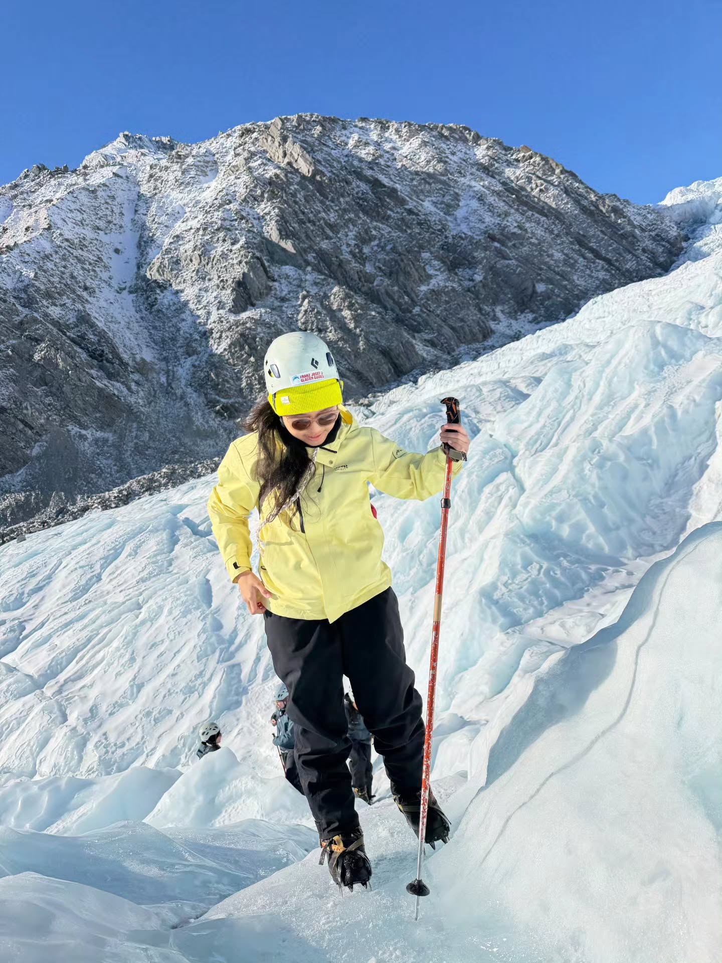
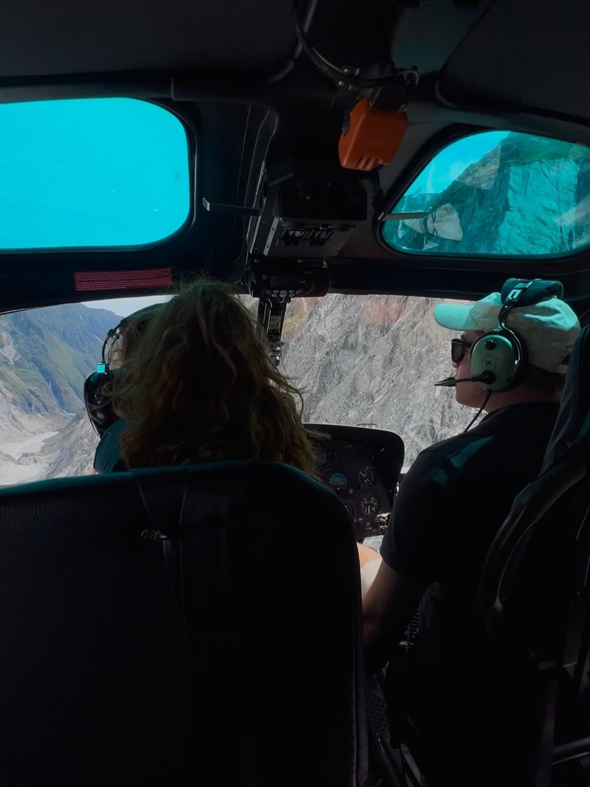
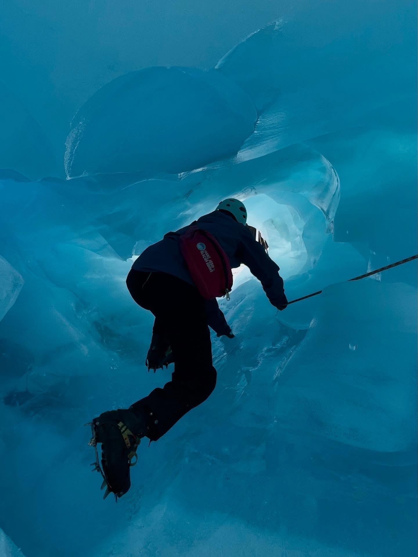
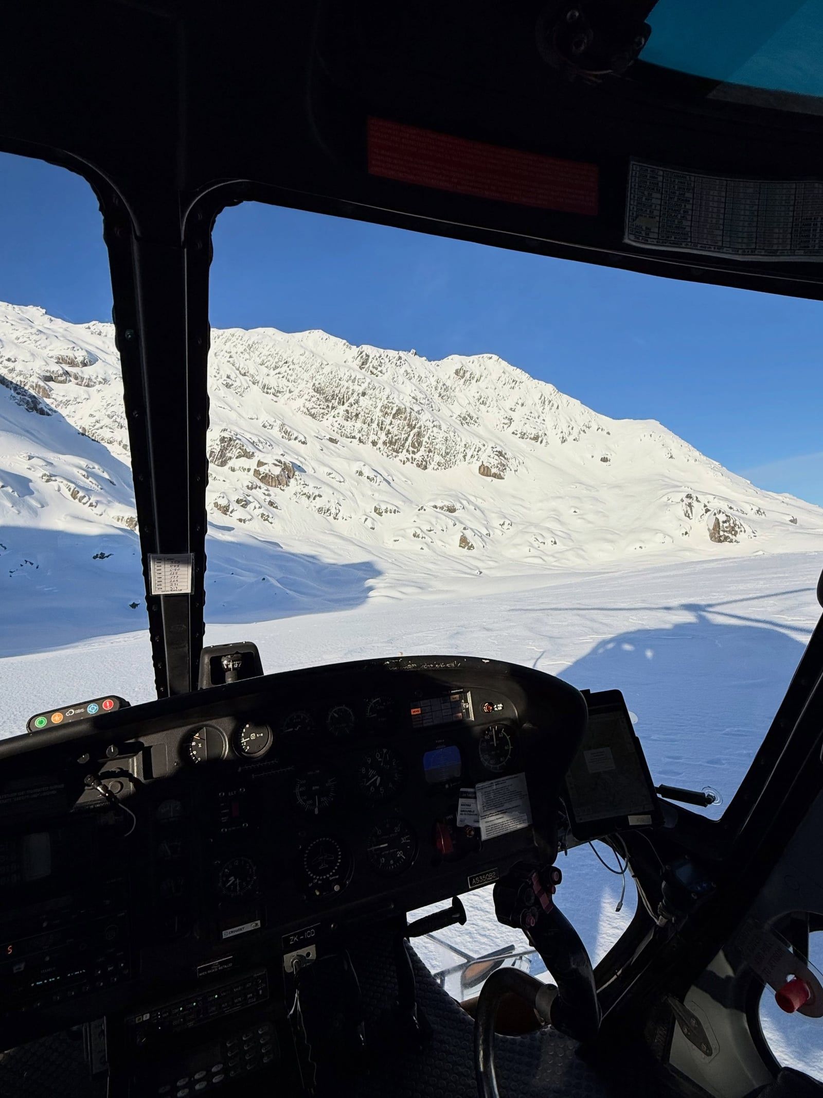
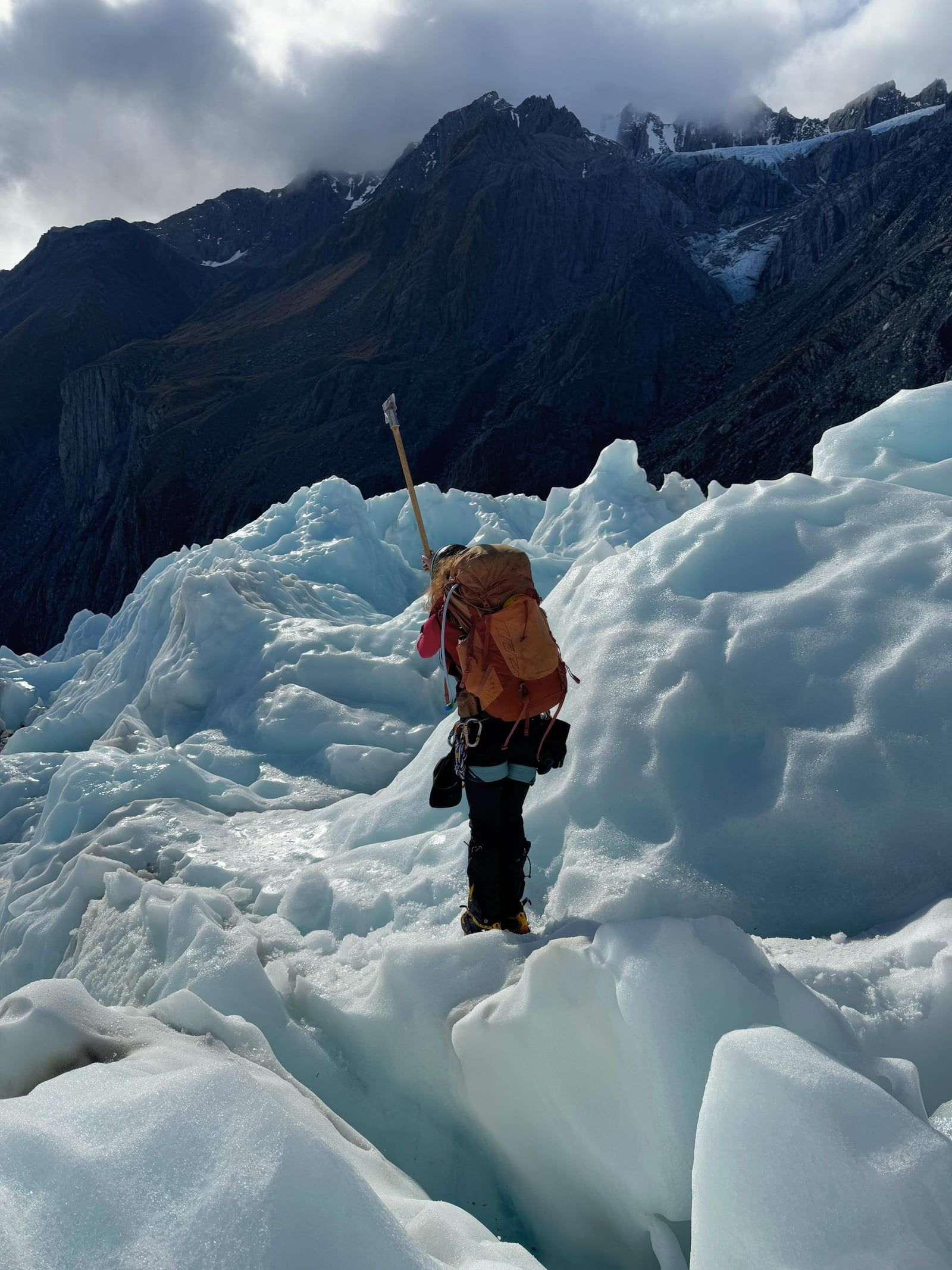
The retreating ice face means you can no longer walk directly onto the glacier from the valley. Helicopters are the only way up. Flights land high on the main ice fall, where licensed guides lead you through shifting crevasses. Tours start around NZ$529.
This 1.7-kilometer trail cuts through temperate rainforest just a few hundred meters above sea level. The flat, 30-minute walk passes waterfalls. A short climb at the end reveals the Waiho River winding away from the distant ice. The track is free, but parking costs $20 daily.
The glacier has lost three kilometers of ice over the last century. You can see the remnants of its former size at Peters Pool. This small kettle lake sits near the car park, formed by massive ice chunks left in the moraine around 1805.
Right in the small township, the Franz Josef Glacier Hot Pools sit surrounded by native bush. These naturally heated tubs stay open year-round regardless of the weather. It's the obvious place to warm up and rest your legs after a cold morning on the ice.
Book experiences lasting 25 minutes to four hours, starting at $39 with free cancellation up to 24 hours.
Swipe to see more
 Free Cancellation 4h
 Free Cancellation 25min
 Free Cancellation 25min
 Free Cancellation 35min
Winter provides the most stable ice for heli-hikes and fewer people on the trails. Summer delivers warmer weather but packs the township with peak-season crowds and high accommodation prices.
Days start getting longer. Wildlife activity picks up, making this a prime window to see rare nesting kōtuku (white herons) nearby at Whataroa before the heavy summer crowds arrive.
You get the warmest temperatures of the year. It's also the busiest and most expensive time in town. Book heli-hikes well ahead, as clear weather slots fill fast.
Frequent heavy storms hit the West Coast during these months. Rain can easily flood the valley or trigger rockfalls, closing the access road and grounding helicopter flights.
Cold temperatures reduce meltwater, slowing the glacier's movement and creating stable ice caves for guided hikes. You'll avoid peak crowds, though heavy rain can still close the access road.
The glacier valley track stays open year-round during daylight hours. Access depends entirely on the weather. Heavy rain often triggers rockfalls or flash flooding, shutting down the road and track. Check conditions first at the Westland Tai Poutini National Park Visitor Centre on Cron Street. They open daily at 8:30 am, closing around 6:00 pm from November to March and 4:45 pm between April and October. The centre shuts on Christmas Day.
| Category | Price |
|---|---|
| Franz Josef Glacier Valley Walk | Free |
| Car park (under 20 minutes) | Free |
| Car park (per half hour) | $2.50 |
| Car park (per day) | $20.00 |
| Guided heli-hike | NZ$529–$899 |
| Scenic flight | From NZ$699 |
The glacier car park machines only take cards — leave your cash behind. Locals or repeat visitors can buy an annual parking permit online. If you want to walk on the ice, you must book a helicopter tour with a licensed operator like Franz Josef Glacier Guides. Independent glacier travel is banned.
For complete schedules and ticket prices, visit our Hours & Fees page.
You can drive or catch a coach along State Highway 6, which hugs the South Island's West Coast. From the township, a four-kilometer drive down the Glacier Access Road puts you at the main car park.
📍 69 Cron Street, Franz Josef (Westland Tai Poutini National Park Visitor Centre) / Glacier Access Road
Take State Highway 6 north the entire way. The route passes through Wānaka before climbing over the Haast Pass along the edge of Mount Aspiring National Park. It is a highly scenic drive, but the road winds heavily with sharp, blind corners. You'll need constant attention at the wheel, so plan for extra time to pull over and rest.
InterCity and other coach operators run a daily direct service. The bus follows the same State Highway 6 route via the Haast Pass. It takes significantly longer than driving yourself, clocking in at roughly eight and a half hours. That duration includes scheduled rest stops along the way. You get to skip the demanding mountain driving and watch the scenery instead.
Leave the city on State Highway 73 to cross the Southern Alps via Arthur's Pass. Once you hit the West Coast, turn south onto State Highway 6. You'll drive past the towns of Greymouth and Hokitika before pulling into Franz Josef. The mountain pass can close in bad weather, so check conditions before you leave.
There's no single direct bus crossing the island from Christchurch to the glacier. You have to book a route that includes a transfer. Most travelers take an InterCity coach to Greymouth or another West Coast hub, then switch to a southbound bus. Expect the total journey to take just over eight hours.
For detailed transport options and routes, visit our Directions page.
The glacier car park charges $2.50 per half hour or $20 a day. You can't pay with cash. Machines on site only take debit or credit cards. If you're just dropping someone off, you get the first 20 minutes free.
The valley is noticeably cooler and windier than Franz Josef township. Bring warm layers and a waterproof jacket even if the morning starts sunny. You'll also want insect repellent. Sandflies are notorious on the West Coast, and the track lacks facilities.
Never cross the marked ropes to get closer to the ice. Flash flooding and rockfall happen without warning in the steep valley. Ice dams can burst, sending massive river surges down the riverbed. People have died ignoring these warnings, so stick to the formed track.
Heavy rain frequently closes the Glacier Access Road and the walking track due to flooding or landslides. Before you drive out, verify the route is open. Stop by the National Park Visitor Centre at 69 Cron Street after 8:30am. You can also check the Glaciercountry website for updates.
Helicopter tours are the only safe way onto the glacier ice, but they are highly weather-dependent. Low cloud, rain, or high wind will ground flights at short notice. Book your heli-hike early in your trip. If operators cancel, you'll have another day to reschedule.
You cannot fly a drone anywhere in the Franz Josef Glacier valley without prior authorization. The Department of Conservation requires a specific permit for public conservation land. Stick to a regular camera for the walking track. General photography is permitted from all the viewpoints.
Franz Josef's twin glacier sits just down the highway. You can walk its valley floor or book a guided hike onto the ice. Doing both glaciers in one day is entirely manageable.
A boardwalk loop cuts through podocarp forest to the shoreline. Go early in the morning when the wind drops. The still water reflects Aoraki/Mount Cook and Mount Tasman like a mirror.
These naturally heated soaking pools sit under a canopy of native rainforest right in town. They stay open year-round. It is the best way to thaw out after a guided ice hike.
Read what travelers share about their experience visiting Franz Josef Glacier — from practical tips to personal highlights.
Planning advice, comparisons, and practical tips.
Franz Josef and Fox Glacier sit 20 km apart on New Zealand's West Coast, about 25 minutes in a car, so most road-trippers pick one base rather than…
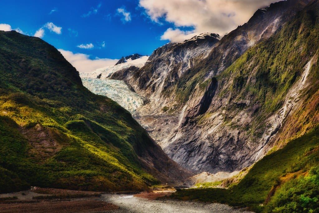
Franz Josef Glacier drops 12 km from the Southern Alps névé into temperate rainforest, close enough to the township that you can walk to a viewpoint…
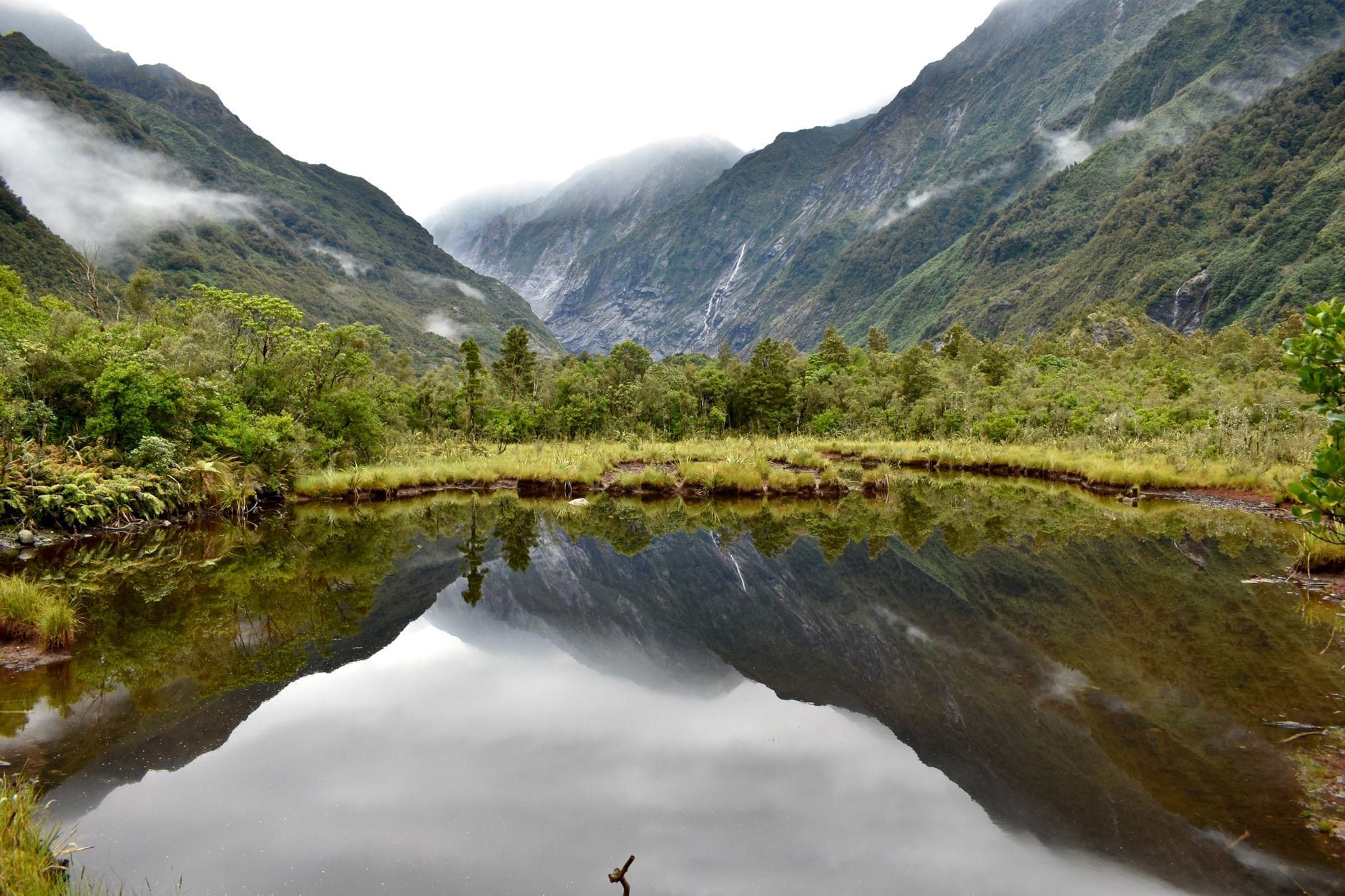
Franz Josef Glacier drops 12 kilometres off the Southern Alps into West Coast rainforest, inside Westland Tai Poutini National Park. It's one of only…
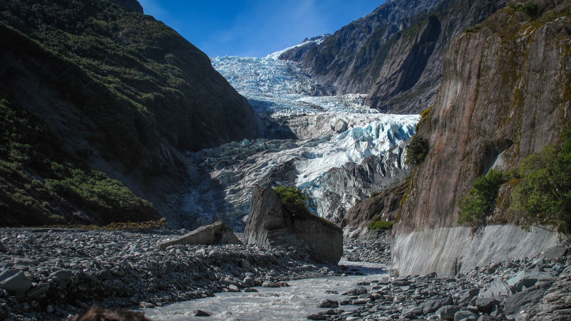
The walk to Franz Josef Glacier no longer reaches the ice. The Waiho River shifted across the valley floor and floods wrecked the track beyond the…
The 1.7 km Glacier Valley Walk is completely free. You only pay for parking at the trailhead, which costs $2.50 per half hour or $20 for the day. Bring a card, because the machines do not accept cash.
No. The Waiho River cut off foot access up the valley, so the public track ends at a viewpoint. To actually walk on the ice, you have to book a guided helicopter hike, which starts around NZ$529.
Budget about 1.5 to 2 hours for the round trip. The track itself takes roughly 30 minutes each way. That leaves plenty of time to take photos at the viewpoint before heading back.
The drive is 350 km and takes about 5 hours with stops via State Highway 6. You cross the Haast Pass along the edge of Mount Aspiring National Park. Daily direct buses also run this route, taking roughly 8.5 hours.
Only the first section through the rainforest is flat enough for wheelchairs and strollers. The final approach to the viewpoint involves a short, steep uphill climb that is not accessible. Wheelchair users can book specialist helicopter operators to land directly on the ice instead.
Wear warm, waterproof clothing and sturdy walking shoes, as the valley weather changes rapidly and the track gets wet. Bring drinking water, sun protection, and insect repellent to deal with West Coast sandflies.
Go in winter (June through August) for fewer crowds and the best ice caves. Colder temperatures slow the glacier's meltwater, making the ice formations much more stable for guided hikes. Summer (November to February) brings the warmest weather but the highest accommodation prices.
No, you cannot fly a drone anywhere in the valley without prior authorization. The area is public conservation land, meaning you need a specific permit from the Department of Conservation before launching.
Browse verified tours with free cancellation and instant confirmation.
Find Tours


